








Revenge of the Map
URLs
https://flowvel.la/Revenge
#RevengeoftheMaps
REVENGE
OF THE
MAPS
REVENGE
PRESENTED
BY
OF THE
MAPS
Matt Lyons & William Jeffery
Works on Smart Phones Works on the iPad Works on Desktops Doesn’t work on this device
Icons found in this presentation
MAPS
-for-
SOCIAL STUDIES
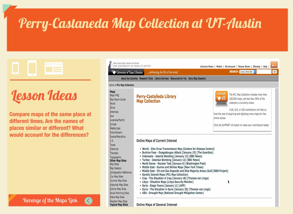
Perry-Castaneda Map Collection at UT-Austin
Lesson Ideas
Compare maps of the same place at different times. Are the names of places similar or different? What would account for the differences?
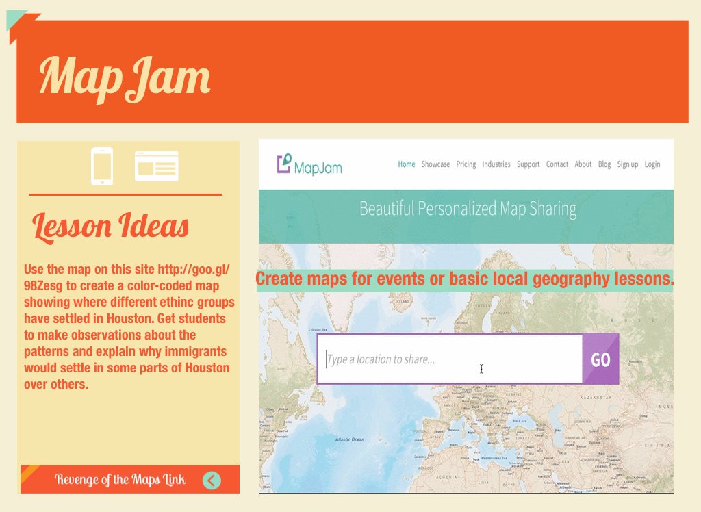
MapJam
Lesson Ideas
Use the map on this site http://goo.gl/98Zesg to create a color-coded map showing where different ethinc groups have settled in Houston. Get students to make observations about the patterns and explain why immigrants would settle in some parts of Houston over others.
Create maps for events or basic local geography lessons.
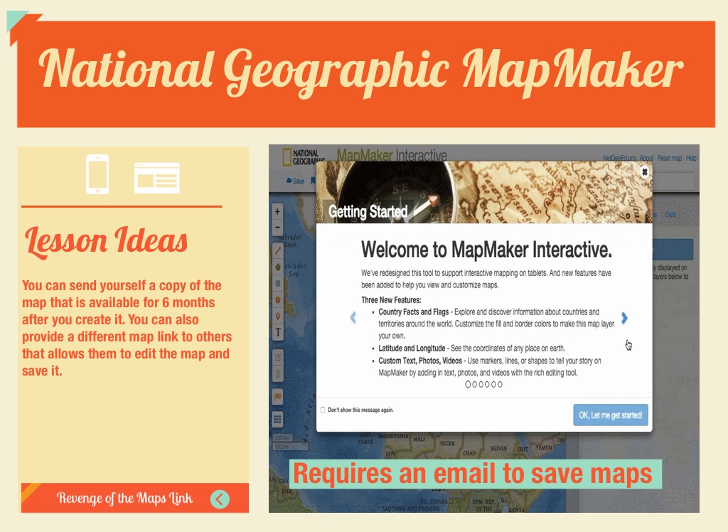
National Geographic MapMaker
Lesson Ideas
You can send yourself a copy of the map that is available for 6 months after you create it. You can also provide a different map link to others that allows them to edit the map and save it.
Requires an email to save maps
S C I E N C E
Maps for
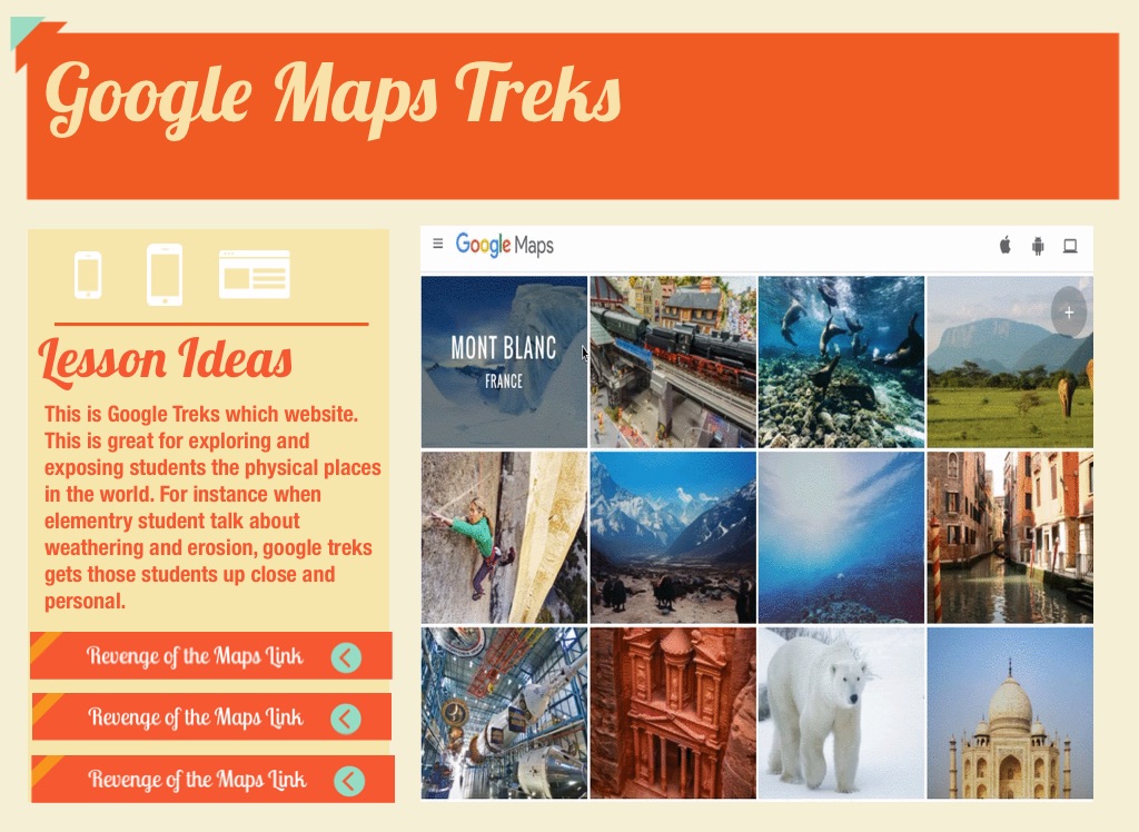
Google Maps Treks
Lesson Ideas
This is Google Treks which website. This is great for exploring and exposing students the physical places in the world. For instance when elementry student talk about weathering and erosion, google treks gets those students up close and personal.
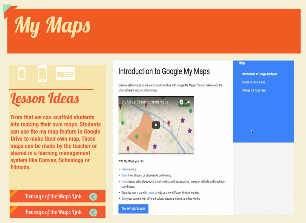
My Maps
Lesson Ideas
From that we can scaffold students into making their own maps. Students can use the my map feature in Google Drive to make their own map. These maps can be made by the teacher or shared in a learning management system like Canvas, Schoology or Edmodo.
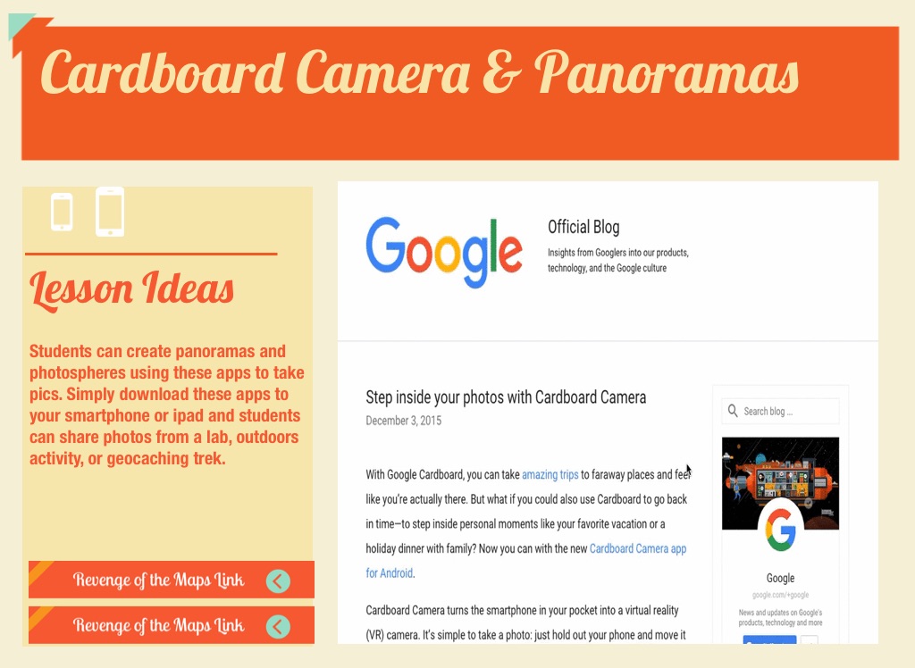
Cardboard Camera & Panoramas
Lesson Ideas
Students can create panoramas and photospheres using these apps to take pics. Simply download these apps to your smartphone or ipad and students can share photos from a lab, outdoors activity, or geocaching trek.
360 Cities
Lesson Ideas
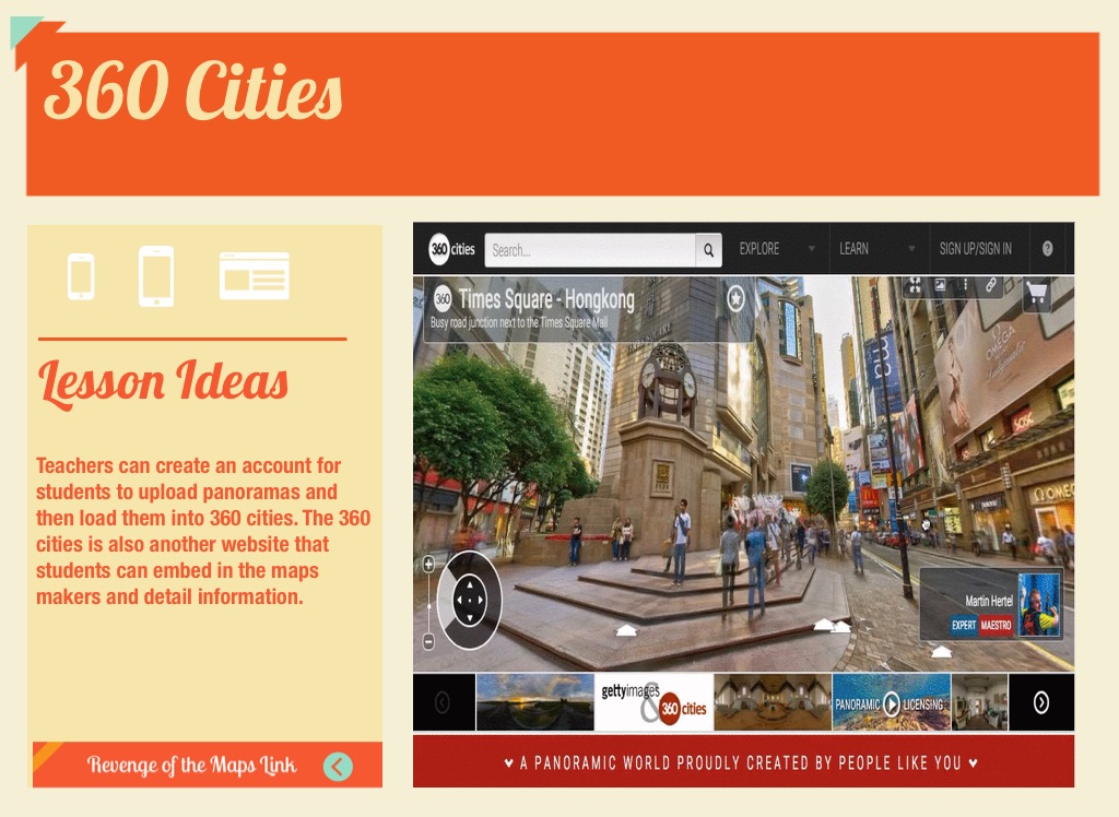
Teachers can create an account for students to upload panoramas and then load them into 360 cities. The 360 cities is also another website that students can embed in the maps makers and detail information.
Nearpod with Maps
Lesson Ideas
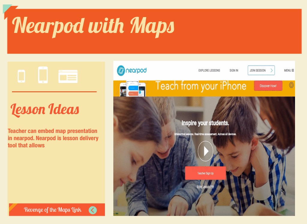
Teacher can embed map presentation in nearpod. Nearpod is lesson delivery tool that allows
YOUR WORLD
Connected
Lesson Ideas
Extension activities with Maps for your class
Google Tour Builder
Lesson Ideas
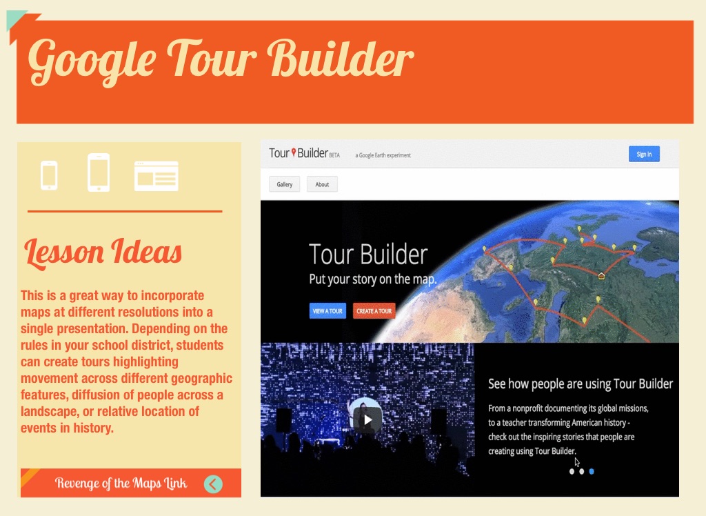
This is a great way to incorporate maps at different resolutions into a single presentation. Depending on the rules in your school district, students can create tours highlighting movement across different geographic features, diffusion of people across a landscape, or relative location of events in history.
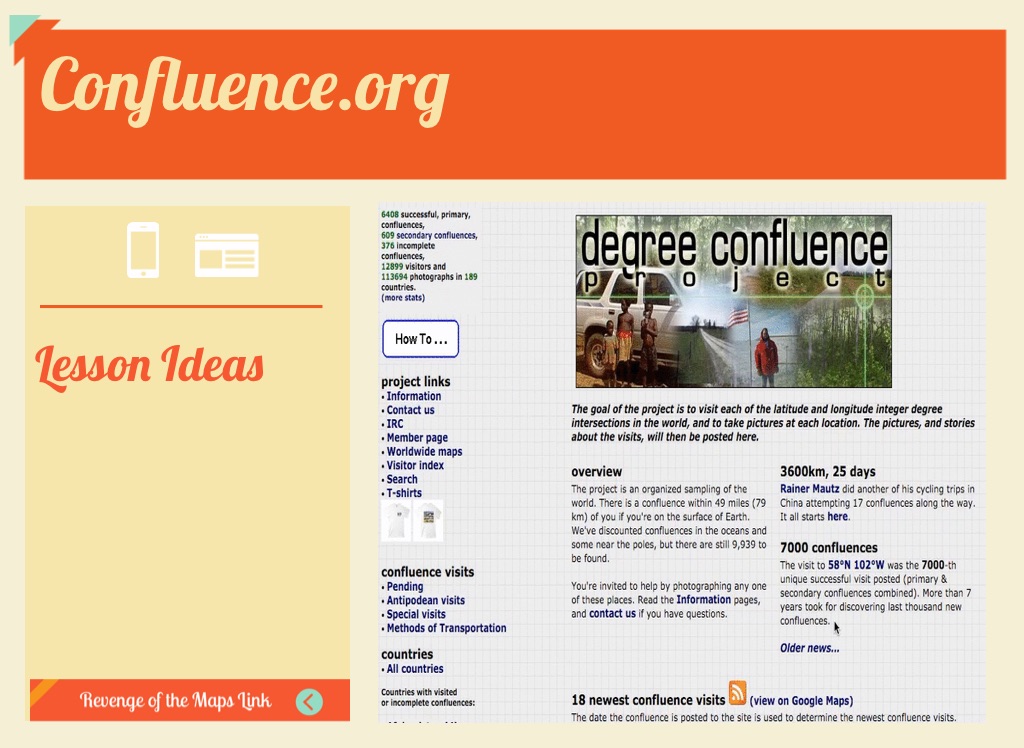
Confluence.org
Lesson Ideas
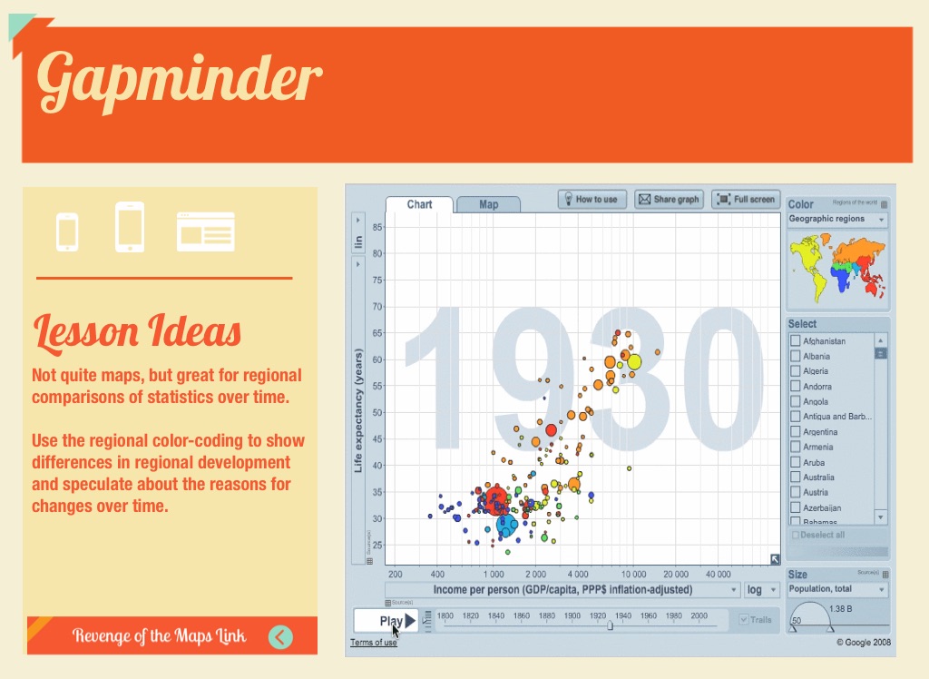
Gapminder
Lesson Ideas
Not quite maps, but great for regional comparisons of statistics over time. Use the regional color-coding to show differences in regional development and speculate about the reasons for changes over time.
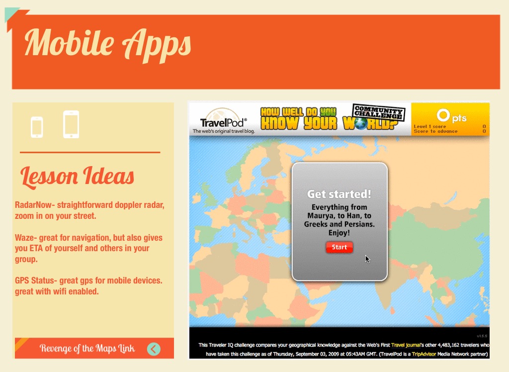
Mobile Apps
Lesson Ideas
RadarNow- straightforward doppler radar, zoom in on your street. Waze- great for navigation, but also gives you ETA of yourself and others in your group. GPS Status- great gps for mobile devices. great with wifi enabled.
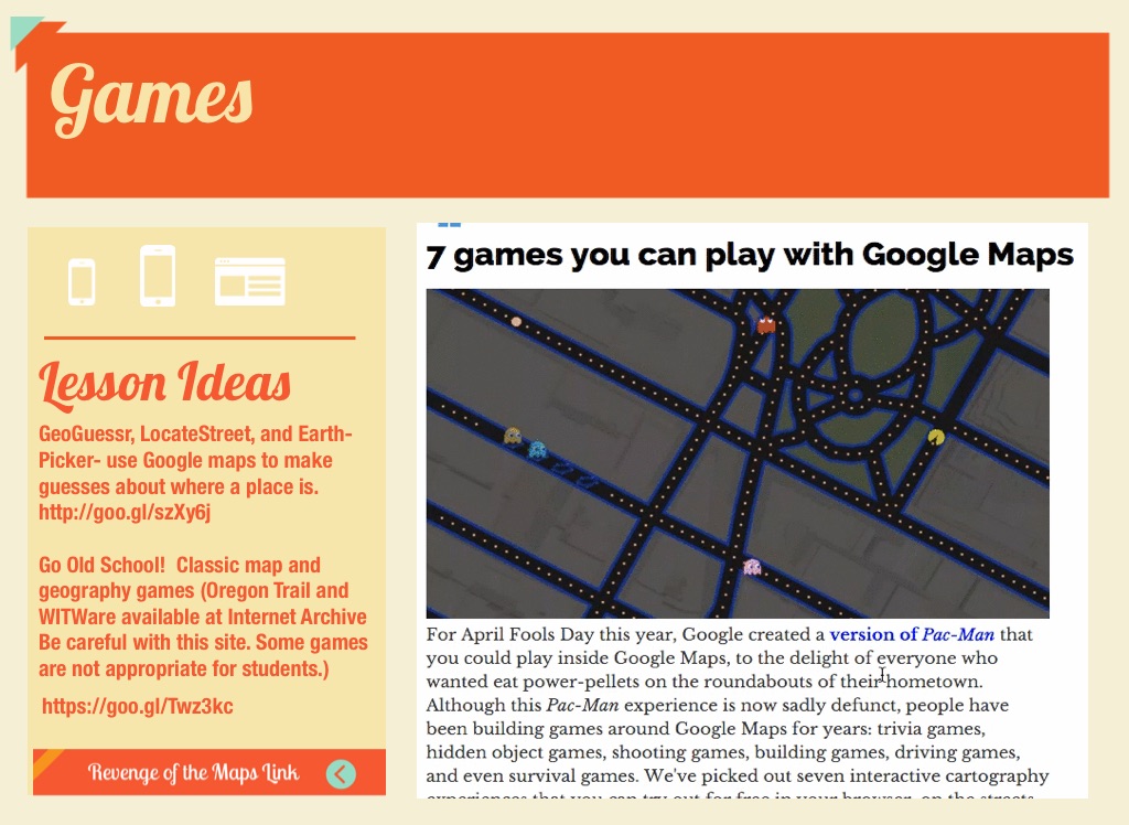
Games
Lesson Ideas
GeoGuessr, LocateStreet, and Earth-Picker- use Google maps to make guesses about where a place is. http://goo.gl/szXy6j Go Old School! Classic map and geography games (Oregon Trail and WITWare available at Internet Archive Be careful with this site. Some games are not appropriate for students.)
https://cdn.flowvella.com/Twz3kc
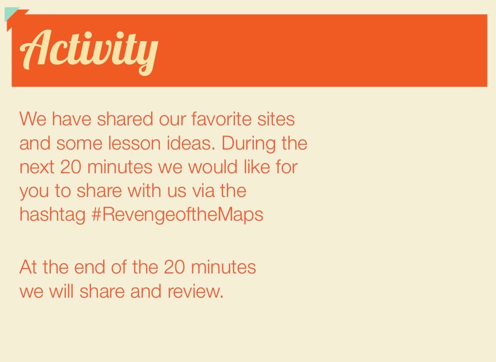
Activity
We have shared our favorite sites and some lesson ideas. During the next 20 minutes we would like for you to share with us via the hashtag #RevengeoftheMaps
At the end of the 20 minutes we will share and review.